
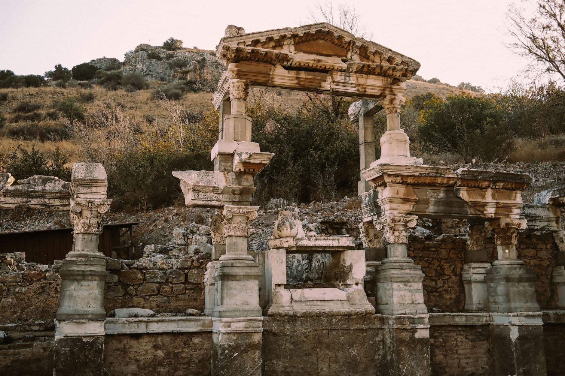
There is a particular pleasure in arriving at a hilltop ruin on your own two feet. In Caria and Pisidia — the rugged southwest and lake country north of Antalya — the ancient landscape is unusually generous to walkers: fortresses sit on ridges, springs bubble at the foot of acropolises, and stone-paved mule tracks still connect villages whose names you will not find on most tourist maps. This guide is for the connector: the traveller who wants to link sites on foot rather than tick them off by coach, and who is happy to trade a lie-in for cool morning air and a glass of tea at the end.
Nothing here replaces a proper trail guidebook or a local guide who knows which farmer's field has been ploughed across the path this spring. What follows is the practical logic of linking Carian and Pisidian sites: which trail systems exist, how to combine them with village paths, how to plan around heat and water, and what the signage really tells you. For broader regional planning, our destinations pages and route ideas are good companions; this article zooms in on the walking itself.
Two Landscapes, Two Kinds of Walking
Caria is the coastal and near-coastal southwest around Milas, Stratonikeia, Labraunda, Herakleia-on-Latmos, Euromos, Alinda and the Latmos massif behind Kuşadası. It is a landscape of marble, pine and olive, of steep acropolises rising straight out of fertile plains, and of springs that were sacred long before they were useful. Walking here often means short, sharp ascents — 200 to 500 metres of climb — followed by ridge traverses with enormous views and descents into villages where the tea house is the only commercial enterprise.
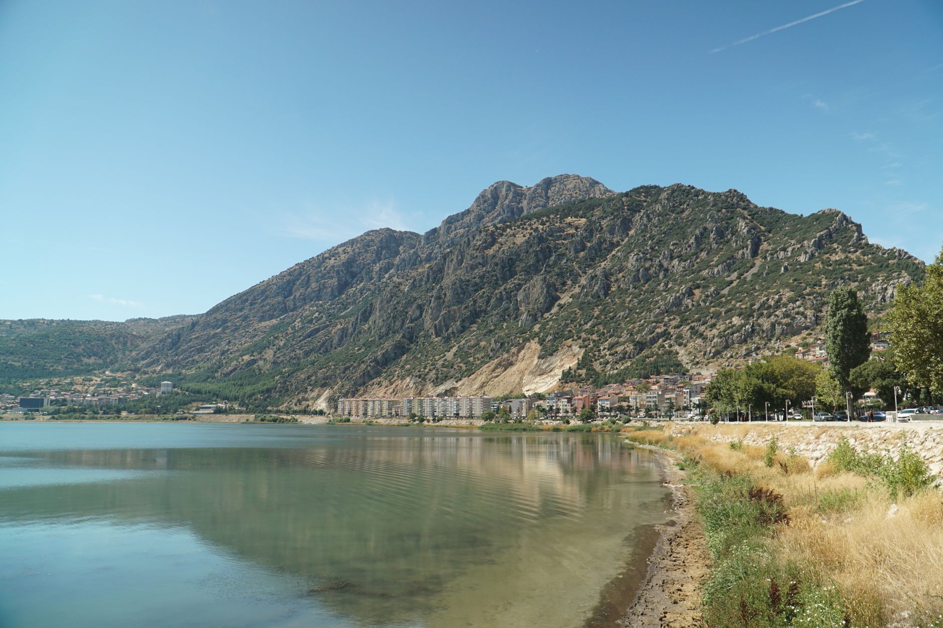
Pisidia is the interior: the lake district around Eğirdir, the Taurus foothills, Sagalassos above Ağlasun, Termessos in the mountains northwest of Antalya, and the upland plains around Selge and Adada. The walking is higher, drier and more open, with long horizons, juniper and cedar, and a climate that punishes midday effort even more than the coast does. Distances between sites are greater, but so is the sense of a route unfolding across a plateau rather than a series of separate hills.
The joy of linking the two is the contrast. A week that begins with an early climb to a Carian acropolis and ends with a Pisidian ridge walk above a lake gives you two entirely different readings of Anatolian history — the maritime city-state and the mountain stronghold — connected by the same habit of walking up to where the water and the defence were.
The Trail Systems That Actually Exist
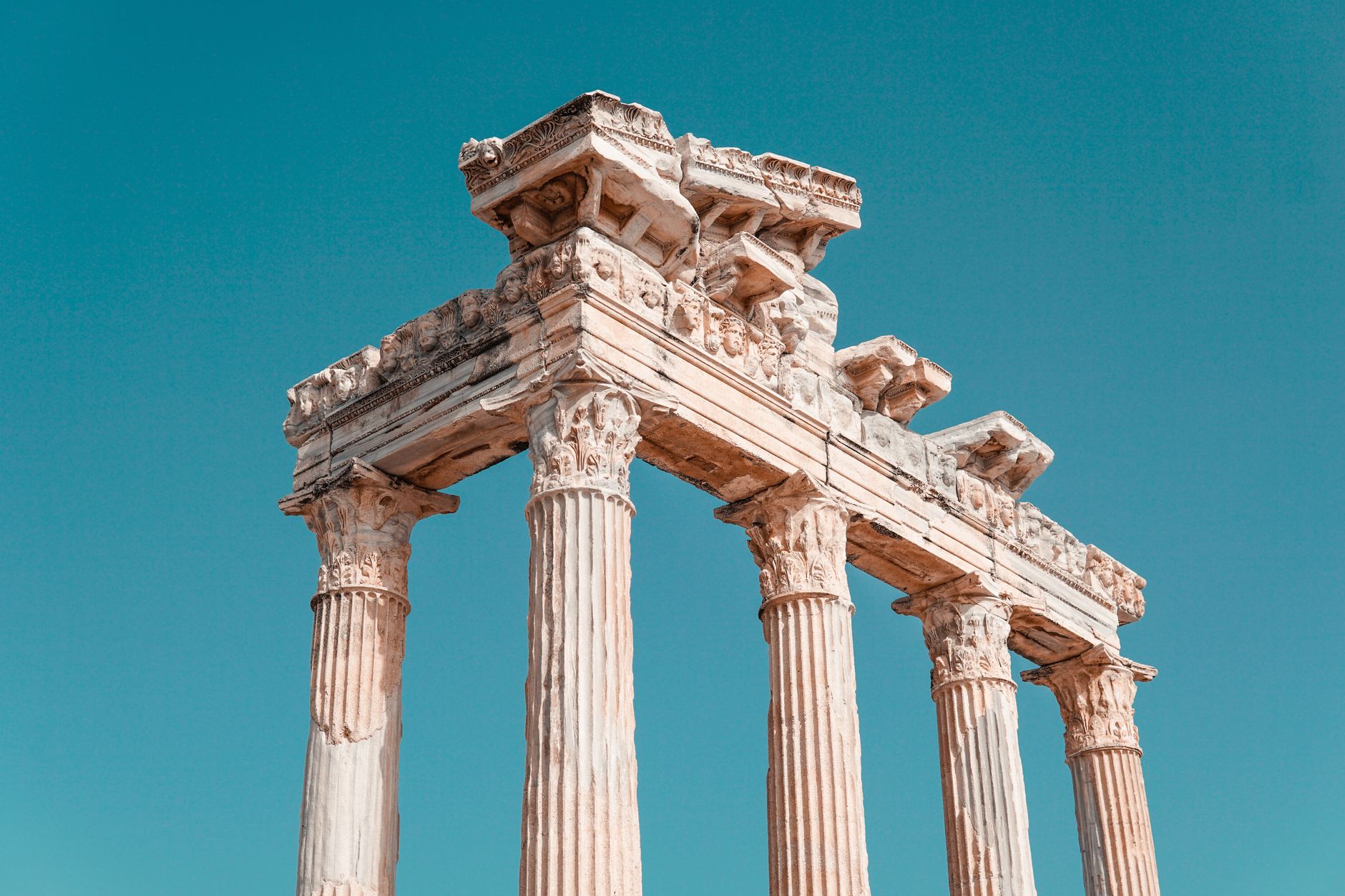
Several long-distance waymarked routes cross these regions, and they are the backbone of any connecting plan. The Carian Trail (Kar Yolu) runs roughly from İassos to Pamukkale through Milas, Stratonikeia, Labraunda and Herakleia, linking exactly the kind of hilltop sites this guide is about. The Lycian Way lies further east and south but overlaps usefully around Antalya. The St Paul Trail crosses Pisidia from Perge north through Adada and on toward Yalvaç, and the Phrygian Way begins further north again. Around Eğirdir and the lake district, local village paths and forest tracks fill the gaps.
The important word is roughly. These are waymarked trails, not maintained footways. Sections change character with logging, grazing and weather; a red-and-white blaze does not guarantee a clear tread. Treat the long-distance routes as corridors rather than corridors of certainty, and treat villages as your reset points — a place to ask, refill and recalibrate.
For a realistic sense of how to sequence a multi-day walking itinerary with rest days and transfers, see our itineraries, and check best time to travel before committing to spring or autumn dates. If you would rather have someone else handle the linking, our local experts can pair a licensed guide with village guesthouses.
Linking Sites: A Practical Pattern for a Walking Day
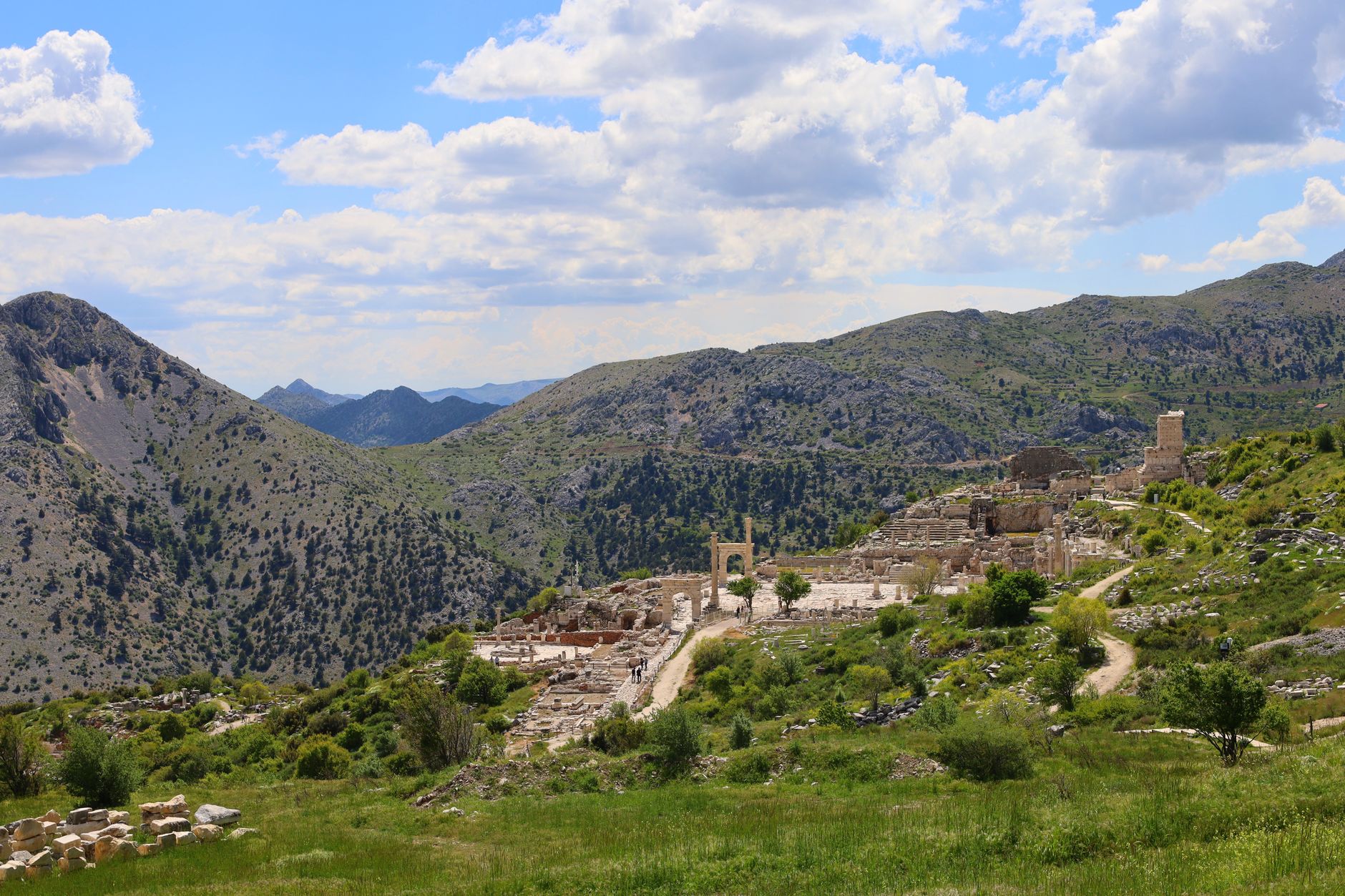
The most satisfying days in Caria and Pisidia share a shape. Start before dawn or just after, climb to the acropolis or fortress while the air is still cool, spend an hour reading the ruins and the view, then descend by a different path to a spring or a village, and finish with tea and a transfer. This pattern works at Labraunda, at Herakleia, at Alinda and at Sagalassos alike: the archaeology is on the high ground, the water and the hospitality are below.
Plan your links around the springs. In both regions, springs are the historic reason for settlement and the practical reason a walk works. Many are marked on maps and trails; some are capped and piped to a fountain; a few are seasonal and dry by July. A reliable fountain is worth noting in your plan as a waypoint, not just a curiosity — and a village fountain with a tea house beside it is a cultural stop as much as a water source.
Build in a buffer of one to two hours per walking day. Paths through olive terraces and village land can be ambiguous, gates appear and vanish, and a shepherd's advice may add twenty minutes but save an hour of thrashing through scrub. Aim to be off exposed ridges by early afternoon in shoulder season and by late morning in summer.
The best connector's rule for these hills: the ruins are the destination, but the fountains and the tea houses are the itinerary.
Heat, Water and the Case for Starting Early
Southwest Anatolia is hot. Between June and September, midday temperatures on exposed limestone regularly exceed 35°C, and the rock radiates heat well into the afternoon. Even in April, May and October, a south-facing slope at noon can feel far hotter than the forecast for the nearest town. The difference between a 06:30 start and an 08:30 start is often the difference between a delightful ridge walk and a grim slog.
Carry more water than feels reasonable: a minimum of three litres per person for a half-day walk in warm weather, and more for full days on the Carian Trail or the St Paul Trail. Do not count on springs. In Pisidia especially, upland springs can be dry or diverted in late summer, and the distance between reliable sources may be several hours. A filter or purification tablets give you options and peace of mind.
Heat strategy is simple and non-negotiable: start at first light, take a long shaded lunch break between roughly 12:30 and 15:00, and walk again in the late afternoon if you need the kilometres. Wear a hat and light long sleeves, use electrolytes, and watch for the early signs of heat exhaustion in yourself and in your group — headache, confusion and stopping sweating are all warnings to descend and cool down. Our travel tools page has packing and planning aids, and the FAQ covers common questions about seasonal conditions.
Signage Quality: What the Blazes Tell You — and Don't
Waymarking on the Carian Trail and St Paul Trail is generally good where it exists: red-and-white paint flashes on rocks, trees and posts, usually on both sides of a junction. In villages and at road crossings you will often find a combination of blazes, painted arrows and a small informational board. Where a route has been recently re-marked, it can be a pleasure to follow; where it has not, expect faded paint, blazes hidden by vegetation, and junctions where the paint simply stops.
The practical answer is redundancy. Carry a GPX track of the route on a phone or GPS device, plus a paper map or printout as backup, and carry a power bank — navigation drains batteries fast, and signal in these valleys is unreliable. Learn to read the landscape as well as the blazes: a trail through olive terraces tends to follow the terrace line, a mule track climbs in zigzags, and a path that suddenly runs straight up a scree slope is probably a goat track.
When signage fails, ask. Village men drinking tea outside the mosque are the best navigators in Anatolia, and a five-minute conversation about the next village and the water situation will usually solve the problem. A few words of Turkish go a long way; see our guides for practical language and cultural notes.
Villages, Tea and the Generosity of the Path
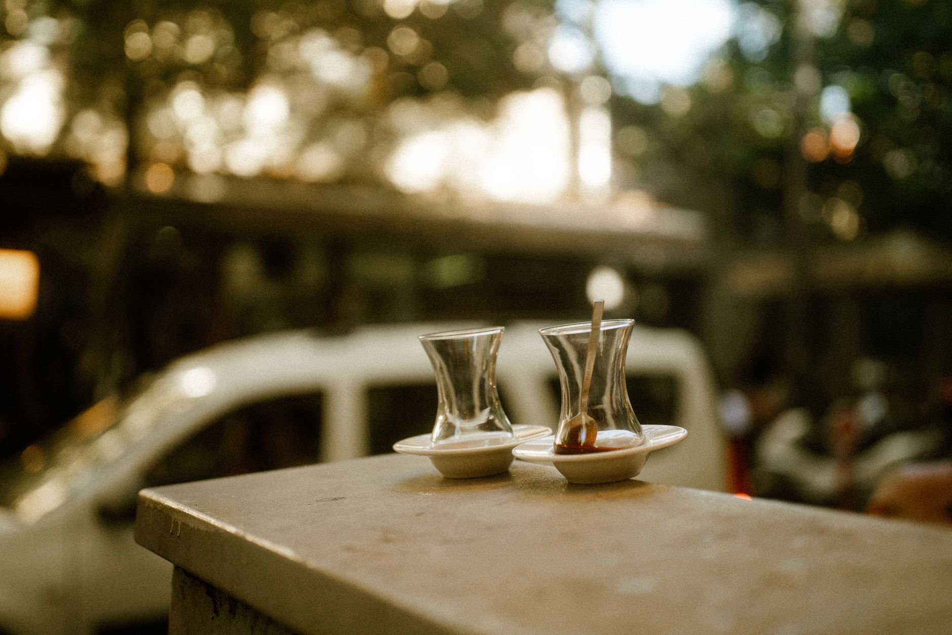
The connector's reward is not only the ruins. It is the village tea house where the walk ends and nobody asks why you are there — they simply hand you a glass of çay and make room on the bench. In Caria, villages like those around Labraunda and Herakleia sit among olive groves and produce honey, olives and herbs; in Pisidia, upland villages sell apples, walnuts and village bread, and the tea comes with a plate of whatever is in season.
Accept the tea. It is the social currency of these hills and one of the great pleasures of walking here. Small courtesies matter: greet people as you pass, ask before photographing, keep your distance from livestock guard dogs (and never run), and close gates. Buying something small — a jar of honey, a bag of walnuts, a loaf — is a graceful way to thank a village for its hospitality and to put money where it matters.
Where to stay is part of the linking. Village guesthouses and small pensions along the trails are increasingly common, particularly around the Carian Trail and near Eğirdir on the St Paul Trail. Book ahead in spring and autumn, ask about packed lunches and transfers, and be honest about your walking time. A guesthouse owner who knows the path is worth more than any app.
Safety, Respect and Knowing When to Stop
These hills are not high mountains, but they are serious terrain. Rockfall on steep acropolis paths, loose scree on descents, exposure on some ridge sections, and livestock dogs are the main objective hazards; heat and dehydration are the main subjective ones. A basic first-aid kit, a headlamp, a whistle and a paper copy of your plan left with your guesthouse are sensible defaults. Tell someone where you are going and when you expect to be back.
Respect the archaeology. Do not climb on fragile masonry, do not remove sherds or stones, and do not camp inside ancient sites. Many of these places are under excavation and some are on private or village land; access is a privilege, not a right. If a gate is locked or a path clearly crosses a cultivated field, take the long way around.
Finally, know when to change the plan. If the heat builds, if water is short, if the sign has disappeared and the light is going, turn around or take the road descent. The sites will still be there next morning — and an early start tomorrow, with tea at the end, is the whole point. For more on walking and culture across the country, browse our blog, and when you are ready to build a route, start with the trip planner.
Thinking about a trip to Turkey?
Share your contact details and a vetted local expert will follow up with a plan built around you — free, no obligation.